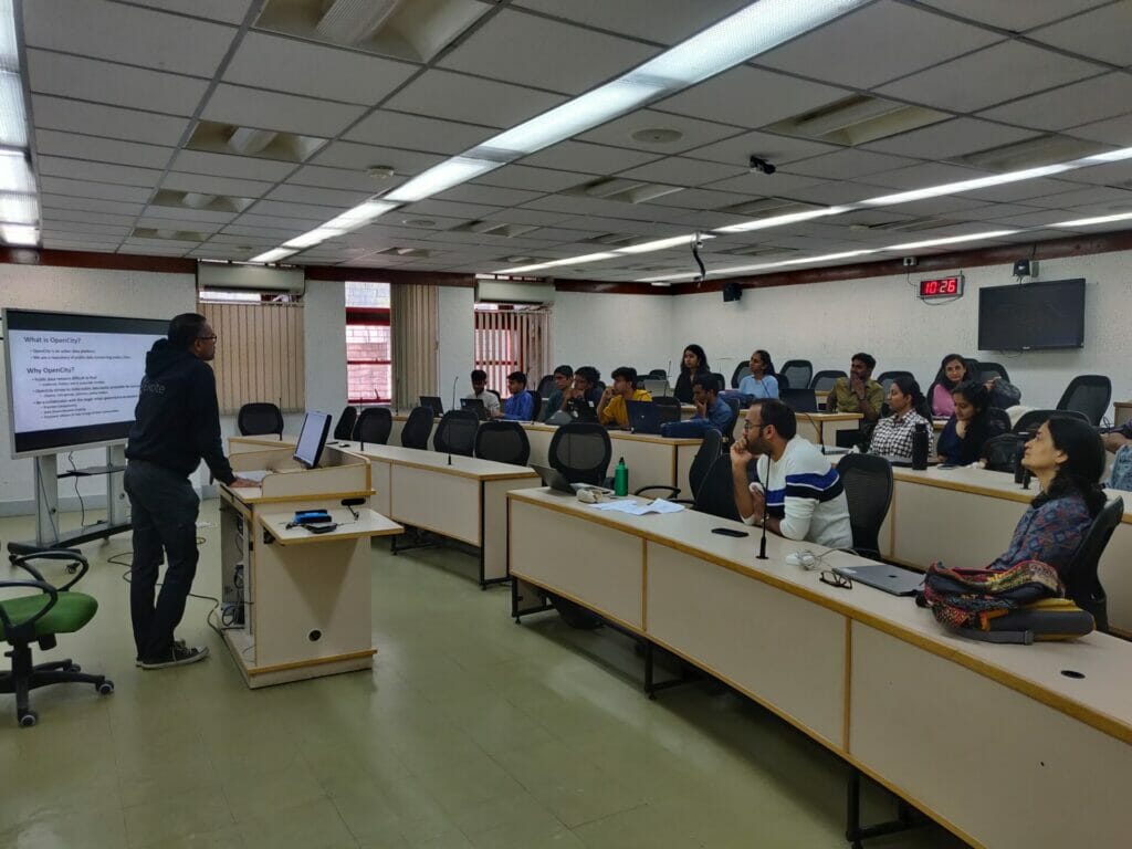
OpenCity, on February 4th, organised the Bengaluru Traffic Datajam, at the Indian Institute of Management, Bengaluru (IIM-B). Anchored by Vaidya R and Meera K, the datajam kicked off with nearly 30 participants, from across sectors and professions, congregating to devise solutions to complex mobility problems. The issues discussed included mismanagement of traffic, promoting Bengaluru Metropolitan Transport Corporation (BMTC) usage, the practicality of road widening, and building elevated corridors for vehicular traffic.
The datajam, supported by Oorvani Foundation with World Resources Institute (WRI) India as the knowledge partner, saw the participants engage in a day-long event that sparked off conversations and collaborations on urban issues, mainly traffic.
The importance of the datajam
In the last few months, Bengaluru has witnessed several developments concerning commute and mobility. Last December, the state Legislative Assembly adopted the Bengaluru Metropolitan Land Transport Authority (BMLTA) Bill, 2022, for easing traffic and urban mobility.
Citizen matters had earlier reported on the proposal to widen the Bellary road stretch to ease vehicular traffic at the cost of the more than 50 trees in front of Palace grounds. On its heels, followed another proposal to construct a four-lane flyover from Bashyam circle to Malleshwaram 18th Cross, both of which drew the ire of citizens and activists.
Taking stock of this, the theme of the data meeting was traffic. The event brought together professionals across urban intersections like policy, academia, public or transport planning, data analysts, and journalists. The aim was to provide a platform to encourage discourse on alleviating mobility concerns and using data to arrive at possible solutions.
Kicking off the session, the OpenCity team highlighted the lack of open source and easily accessible public datasets, an issue that currently plagues the larger urban governance ecosystem. The intention was to promote transparency and encourage data-driven decision making to empower citizens to take charge of their communities.
Approaching the problem
“Just because we have data doesn’t mean there is an inherent solution,” says Raj Bhagat, a Senior Program Manager at WRI India’s Geo Analytics for Sustainable Cities & Transport program, clarifying how data is an enabler of the solution, but not the solution itself.
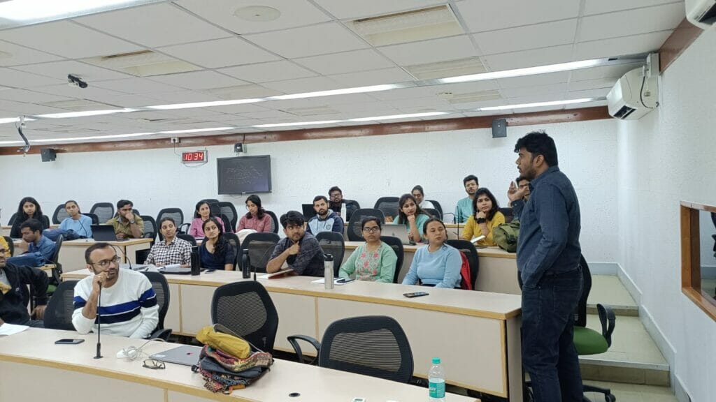
Following this, the participants were divided into groups of five, consisting of a programmer or a coder, a planner with sufficient geospatial knowledge, and people with policy or academic backgrounds. The groups were instructed to define a problem statement concerning Bengaluru’s mobility, which ranged from mapping BMTC networks and economic clusters, to comparing road capacity against bus capacity, to the impact of traffic on livability and pollution.
The teams were made aware of the datasets hosted on OpenCity that were at their disposal, and were encouraged to scrape their own data from public sources to further bolster their arguments. The teams were instructed to come up with a short presentation, explaining their problem statement and illustrating a solution or an approach to the problem using data visualisation.
Read more: Traffic: The more the govt tries to change things, the more they remain the same
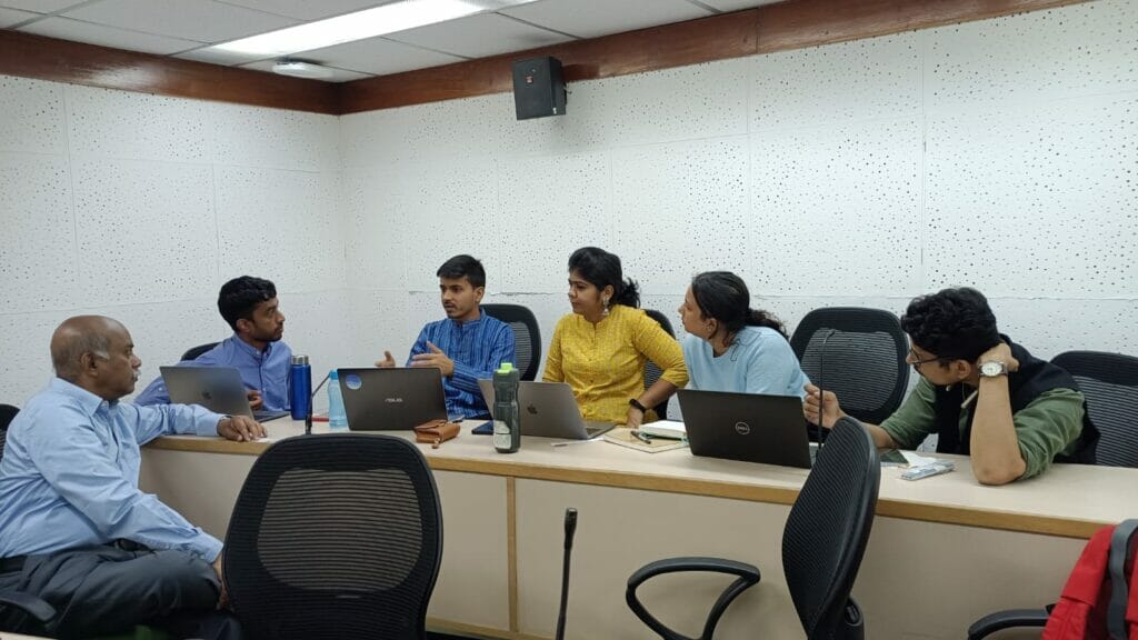
Breaking out into teams
As the teams consisted of a professional from every domain, each of them had a different perspective or approach to the problem. This allowed them to complement each other’s skill sets and bring something new to the table, especially while drafting the objectives and aims of their project.
The problem statements that the teams drafted were:
- Analysis of Road Grid & Public Transport Accessibility for MG Road.
- Developing a Safety Index for Bomanahalli with regard to land use, public transport, and utilities.
- Correlating Change in right of way (ROW) & increase in congestion: Bannerghatta Main Road & Mysuru Road.
- Designing and optimising an efficient minibus service network for Hagadur, Whitefield.
- Estimating the required fleet size for BMTC, given the growth in Bengaluru’s population.
The 63 datasets that the group members could use ranged from Detailed Project Reports of elevated corridors, the draft of the Comprehensive Mobility Plan, ward-wise Transport Network Maps for Bengaluru District, Bangalore Metro & Railway Lines, Bangalore Economic Census 2013-14, vehicles registered in Bengaluru from 2017-2022, etc. Some of the teams used anecdotal evidence or their own experiences with commuting to cement their problem statements and come up with a possible solution.
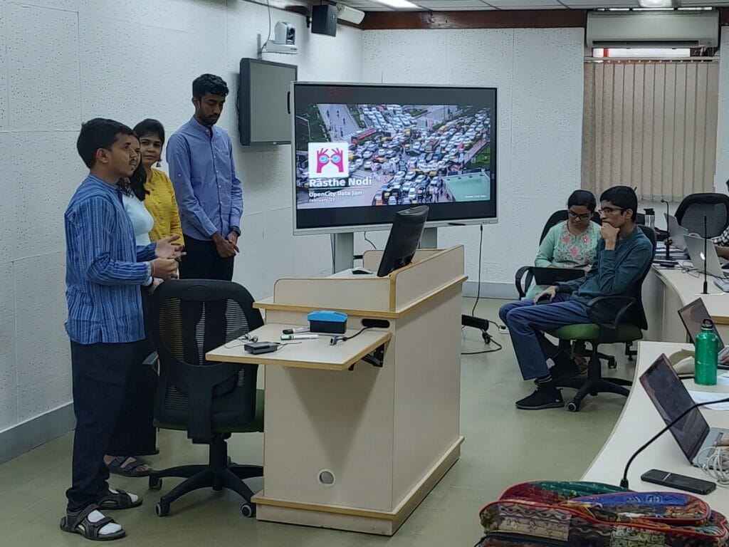
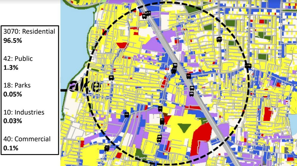
The team proposing the optimisation of a fleet of mini-BMTC buses that would run through the minor roads of a chosen block in Hagadur, illustrated this by plotting a buffer zone of 500 metres around the existing bus stops to display what areas currently cannot access them. Vouching for the lack of service, they explained how the minibuses would ply through selected routes, which would link the population to major bus or metro stations as well as economic centres outside the area.
Similarly, another group used the land-use data to plot how safe or unsafe certain areas were, based on the utility or availability of public transport and development or built-up area. The team used the BDA RMP 2031 for land use details and their recommendations consisted of mixed-use development for heterogenous neighbourhoods, adequate street lighting, and physical permeable frontage (location of balconies and windows facing streets and well-lit parking spaces).
Key takeaways
Each of the teams received feedback and was probed into verifying and clarifying every aspect of their proposed solution to perfect their approach to their problem statement and fill the gaps. Domain experts from WRI India and Citizen Matters urged the participants to continue working on mobility issues and complement their approach with data.
“We used this space to understand the urban issues through our personal experiences and use this kind of opportunity to find some solutions for the same,” says Vikas Kumar, programme coordinator at Citizen Matters. Another observation was how people from diverse professional backgrounds perceived the same dataset in different ways.
Further, this datajam also set the stage for further such congregations, with the aim to feature myriad urban and civic issues discussions in future. The team at OpenCity is compiling feedback from the participants and contemplating holding these sessions regularly in person, but also hosting shorter online sessions for a larger gathering.